Victoria has just lived through one of its most striking weather contrasts in recent memory, with Melbourne and the alpine peaks basking in well-above-average warmth while towns in the state's northwest have been locked under grey skies and barely scraping into single figures — and a cold front is now set to end the run for everyone.
Melbourne and the Alps Smash Winter Temperature Benchmarks
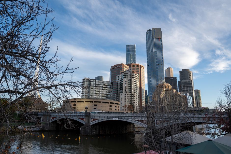
The warmth across much of Victoria this past week has been extraordinary by mid-July standards. Melbourne reached 19.5C on Saturday — well above the seasonal average of 13C for this time of year — followed by 18C on Sunday and a string of 16-degree days into the week. For Melburnians soaking up the sun, it has felt more like a mild autumn than the depths of winter.
The alpine peaks, however, have been the real headline. Falls Creek, which typically sits around freezing in mid-July, recorded a remarkable 9.5C on Friday, 11.5C on Saturday and 13C on Sunday. The previous July record at the resort stood at 9.8C — meaning that mark was exceeded on two consecutive days. Mt Hotham similarly smashed its old July record of 8.7C, reaching 11.1C on Saturday and 12C on Sunday. Mt Buller also surged, hitting 9.3C on Saturday and 11.5C on Sunday, though it stopped just short of its own all-time July high.
If you've been enjoying the Melbourne sunshine this winter week, the science behind it is as fascinating as the temperatures themselves.
The Northwest Has Been a Different Story Entirely
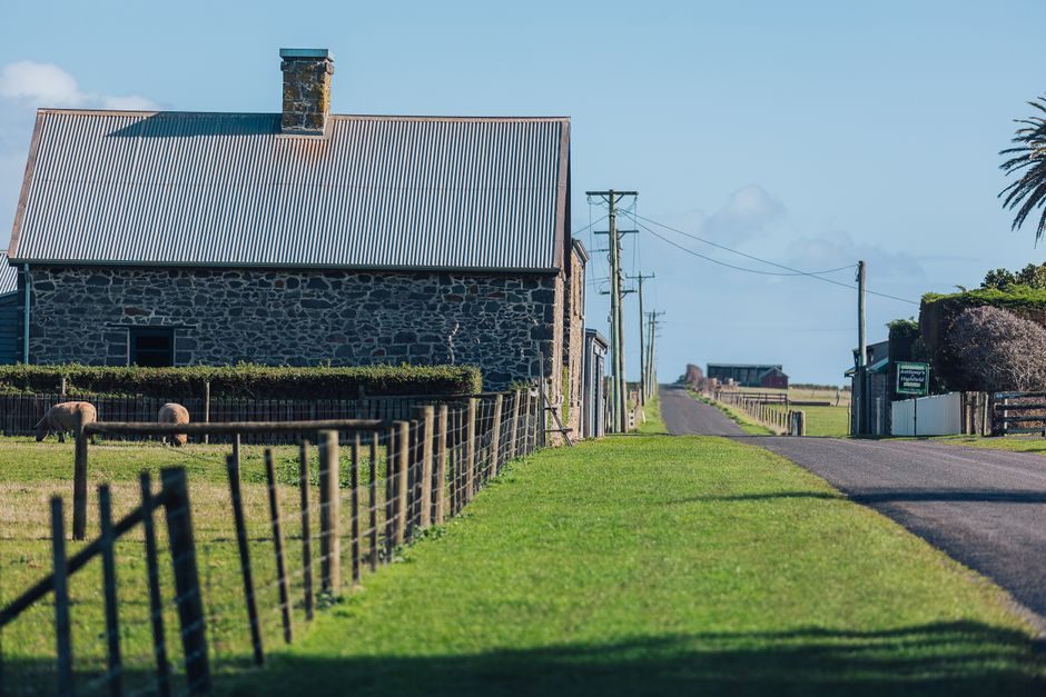
While the south and the peaks have warmed, towns across Victoria's northwest have endured a persistent and gloomy stretch. A widespread blanket of fog and low cloud has been anchored over the region since late last week, refusing to lift. As the fog transitions into a steely grey overcast that lingers through the day, maximum temperatures have fallen well short of average — with many communities failing to reach double figures for three or more consecutive days.
The numbers paint a bleak picture. Stawell managed just 6.9C on Saturday, followed by 9C on Sunday, then 7.6C on both Monday and Tuesday. Longerenong, near Horsham, has been locked in a range of just 8.1C to 9.5C since Saturday. Kerang finally cracked 10C on Tuesday, registering 10.5C after days spent in the 8s and 9s. Crucially, these are peak daytime temperatures — the best each day had to offer.
The Foehn Effect: One State, Two Completely Different Winters
The explanation for this dramatic divide comes down to a well-established meteorological phenomenon. A high pressure system sitting to Victoria's east has been driving persistent light northerly winds across the state. North of the Great Dividing Range, moisture becomes trapped, producing the stubborn fog and cloud smothering the northwest. As those same winds descend the southern side of the ranges, they compress and heat — a process known as the foehn effect.
The foehn effect is responsible for some of the most extreme temperature swings ever recorded. The world's biggest 24-hour temperature rise occurred in Loma, Montana, where the mercury leapt from -48C to +9C as wind shifted and air compressed tumbling down the mountain. Victoria's version has been considerably gentler — but a 19.5C winter Saturday in Melbourne is its own kind of remarkable.
What Comes Next: Cold Front to End the Run
The warmth is now firmly on borrowed time. A cold front is forecast to sweep through Melbourne late Wednesday afternoon into the early evening, bringing a burst of showers and an abrupt drop in temperature. Thursday's expected maximum of just 12C would mark the city's first below-average day in a fortnight.
Showers are expected to stream across Melbourne's southeastern suburbs, cold enough to bring wintry hail, while other parts of the city remain mostly dry. One thing will be universal, though — the wind will feel bitterly cold no matter where in the city you are. After two weeks of winter that barely felt like winter, reality is returning.