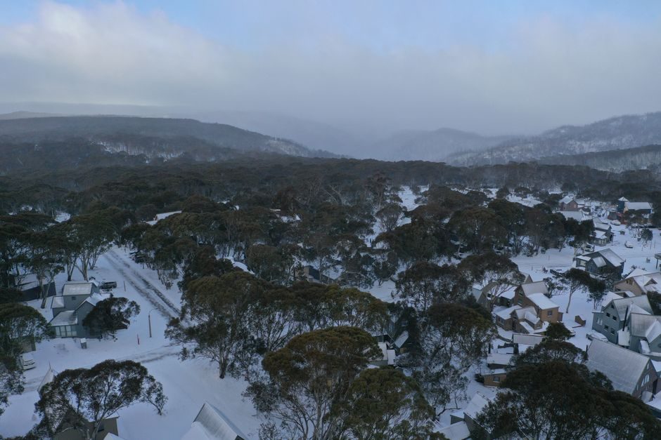
Every state and territory across Australia has been drenched over the past seven days, and the wet weather is not done yet — but there is a significant change on the horizon for Victoria's ski resorts, with snow finally expected to arrive as early as Thursday.
A Week of Rain From Coast to Coast
The widespread rainfall has been driven by a succession of low-pressure systems tracking across the southern parts of the country. With no high-pressure system in place to act as a blocker , these lows have moved through largely unchecked, bringing persistent rain to communities nationwide.
Adding to the intensity of each system, tropical moisture has been feeding in from the north, giving the rain an extra punch and pushing weekly rainfall totals higher than they might otherwise have been. The combination of unimpeded low-pressure systems and tropical feed has made for a notably wet start to July.
Alpine Resorts Left Waiting — But Snow Is Coming
For skiers and snowboarders, the season's opening weeks have been a source of frustration. The track of the weather systems has positioned Victoria's alpine resorts on the warm side of the lows , meaning precipitation has been falling as rain rather than snow — poor news for base depth and trail conditions.
That is set to change later on Thursday. The prevailing northerly airflow, which has kept temperatures mild across the alps, is forecast to swing around to a colder westerly. That wind shift carries the potential to deliver snowfall across the alpine areas and give resorts the cover they have been waiting for.
While the change may not immediately transform conditions overnight, it marks the turning point the alpine industry has been anticipating since the season began.
Sunshine and Settled Weather Ahead for School Holidays
Beyond the snow event, the broader forecast becomes significantly more encouraging. High pressure is expected to build back into the southeast over the weekend and looks likely to persist well into the following week — timing that aligns neatly with the second week of school holidays across Victoria.
The pattern is expected to deliver cold, crisp nights followed by clear, sunny days, with several fine days in a row on the cards. For those in Melbourne, regional Victoria, or heading to the snowfields, it represents one of the better mid-winter forecasts possible at this time of year.
The dry, settled stretch also comes as welcome relief for communities in flood-affected areas, which have been waiting for conditions to ease so recovery and clean-up work can begin in earnest.
What to Watch This Week
The key moment to watch is Thursday's wind change, which will determine how much snow accumulates across the Victorian alps in the days that follow. After that, attention will shift to how firmly the high-pressure system establishes itself — and whether it holds long enough to deliver the extended sunny stretch currently forecast for the school holiday week.
Conditions are expected to evolve quickly, so those planning alpine travel or outdoor activities over the coming days are advised to monitor forecasts closely as the week progresses.